| Index | ||
|---|---|---|
| Organizing Data | A-Z | Visualizing Data |
You know the basics about the most important IDRISI filestructures, so let us take a closer look at the programs strength - the analysis cappabilities.
IDRISI consists of several basic 'bricks', that allow you to build up your GIS-models:
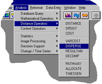
As the menuentries indicate, the modules are arranged thematically depending on what they are for. Several modules, eg. HISTO and STRETCH appear within 2 or 3 submenues, as their functionality fits for different tasks. That may seem strange and unusual but one can live with it. Especially those of you who know IDRISI from earlier DOS versions, won't have any problems to find the desired function. BTW, IDRISI implemented a little tool, Short Cut - it is found in the Environment menue - that gives experienced DOS IDRISI users a faster access in that you just type in the first letters of a module and the cursor will highlight it in a list, then press Enter, and ... here we go.
First I should tell you how things can be visualized in IDRISI.
| Index | ||
|---|---|---|
| Organizing Data | A-Z | Visualizing Data |